Storms Tomorrow, Cold on the Horizon...
More Forecast Notes:* Still looking at the possibility of some thunderstorms developing along and just south of I-20 tomorrow. Computer model guidance continues to show major differences in the amount of available instability. The NAM model spits out some very impressive CAPE:
NAM CAPE Forecast Panel
I sure get the idea that the NAM is overestimating the CAPE. But, that being said, we'll probably see some thunderstorms pop up along the I-20 corridor tomorrow.
The primary threat will be small hail, and we do not anticipate widespread severe weather. However, there is a chance we could see some severe thunderstorm watches and warnings tomorrow, so be ready!
* More rain Wednesday. The GFS again tonight is showing over one inch of rain falling across the area Wednesday afternoon. Flooding could be a problem; we'll have to monitor this closely.
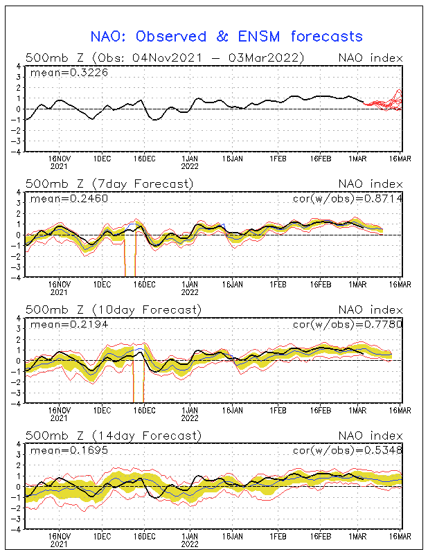
* A fun pattern setting up for the end of the month. The NAO is forecast to drop off the bottom of the charts. A negative NAO often leads to a deep trough in the east, which allows Arctic air to spill southward. Here's the NAO Forecast:

Beyond that, the GFS and European long range model guidance supports the general idea of a deep trough in the East and return to colder weather by the end of the month. Couple this cold air with an active subtropical jet stream, and we could get a real reminder that winter isn't over yet!

1 Comments:
Hey Scott,
The subtropical jet stream is a stream of air thousands of feet above the ground. It is also called the "southern branch" of the jet stream because it is further south than the Polar or Arctic jets.
The subtropical jet stream usually supplies moist air, as it runs out over the Pacific Ocean and brings some of that moisture here.
Hope that helps!
Post a Comment
<< Home