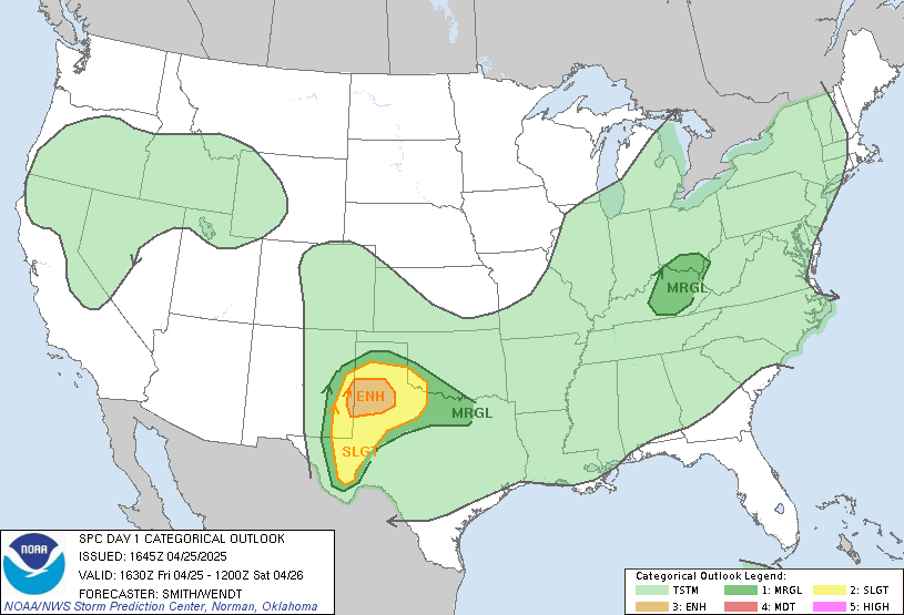
New Day 1 Outlook
 Our area is now right on the fringe of the newly expanded Moderate Risk area. Again, as we've been saying, the question with this event will be instability.
 There are a few areas that appear on satellite to be breaks in the clouds. If those are actually breaks in that cloud deck, more sun will be allowed to reach the Earth's surface. This will heat the surface, making things more unstable.
Our dewpoint is still in the 40's, but there are middle 60's dewpoints building into central Louisiana. The air there is becoming rich with moisture and relatively unstable. We will be watching the dewpoint closely here to see how much it rises.
Let's do another overview quickly this morning:
When: 4pm Today - 2am Saturday
Where: All across our area
Main Threat: Damaging Winds and Isolated tornadoes (we won't have many tornadoes, but those that do form could be significant)
* Questions? Shoot us an email and we'll do our best to answer any questions you may have about the possibility of severe weather later today:
josh.johnson@wtok.com
chris.whited@wtok.com
lauren.raymer@wtok.com
* Storm Reports? To give us storm reports, simply leave a comment on the Storm Report blog post, or submit a report using our Online Weather Watcher system.
Storm Report blog (Leave a comment with your location, report, and time of severe weather)
Online Weather Watchers
Labels: Forecast Discussion

0 Comments:
Post a Comment
<< Home