Midday Severe Weather Update
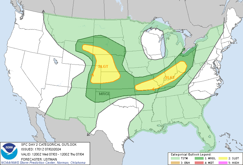
 The Storm Prediction Center's newest Day 2 Outlook has been published to the web, and continues to indicate a significant threat of severe weather tomorrow night. While the primary concern will be widespread damaging winds, we will also have to stay on our toes for the threat of some tornadoes as well.
I note that the Day 2 Outlook probabillities has us in the "Hatched" area, which indicates an increased possibility of significant severe weather.
Let's take this chance to review the data from the 12z NAM model upper air chart, valid at midnight Saturday night:
CAPE (Instability): 441.4 J/Kg
0-3 KM SRH (Shear): 545.9
850mb Winds: 59 kts or 68 mph
Again, this event is a low instability, extreme shear type setup. There is a chance that the shear will overcome the thunderstorms, and result in only a linear complex of thunderstorms with a high risk of powerful thunderstorm winds. Or, we could muster enough instability to create a tornado threat in any cells that can become discrete.
At this point, my best guess is that we will deal with a line of storms with corridors of wind damage across Mississippi and Alabama. We will likely see widespread severe thunderstorm warnings, and most of those warnings will verify due to wind damage.
As for the tornado threat, it is present, but I believe the threat of wind is greater at this time. That could change, depending on the exact evolution of this system.
* Let's again discuss our thoughts on timing and the other pertinent information about this potential severe weather episode:
When: Supercells are possible as early as Saturday afternoon. A line of storms with damaging winds will push through between 6pm Saturday and 2 am Sunday.
Where: This will affect everyone in our area.
Primary Threat: Damaging winds, with a secondary threat of isolated tornadoes.
* Again, this is not written to alarm anyone. We have many new readers in times like these, so if you are new and reading this, don't feel alarmed. We use this space to thoroughly discuss severe weather threats and get into the science behind them, and it's meant only to prepare you, not scare you.

1 Comments:
Looks like someone's got a busy weekend.
Post a Comment
<< Home