HIGH Risk

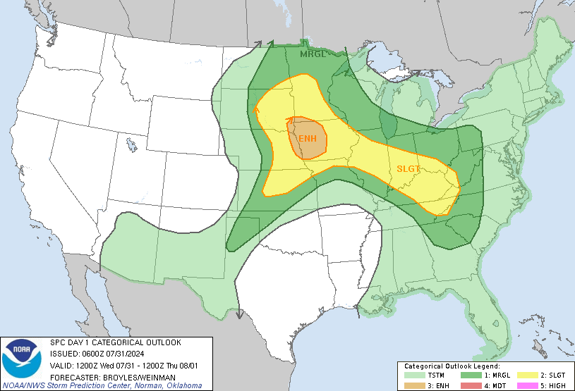
* The SPC has upgraded us to a HIGH risk of severe weather. Here is the definition of a high risk area:
The HIGH risk area almost always means a major severe weather outbreak is expected, with great coverage of severe weather and enhanced likelihood of extreme severe (i.e., violent tornadoes or extreme convective wind events over a large area). Within a high risk area, expect at least 20 tornadoes with at least 2 of them rated F3+, or an extreme derecho causing 50+ widespread wind events (50+) with numerous higher end wind (80+ mph) and structural damage reports.
* High risks are rare and imply a dangerous outbreak of severe weather, so we want you to take this threat seriously. However, we do NOT want you to panic or be afraid. The odds of your home being struck by a tornado are quite small. Further, if you have a weather radio and a plan of action for when your county goes under a tornado warning, the odds of you being hurt get even lower. Be prepared, be ready, be informed, but do not be scared.
* Thunderstorms are in progress tonight across N MS. These are north of the warm front and are elevated in nature. So, these storms could drop some large hail, but will not have an appreciable tornado threat.
* That will change tomorrow morning. Warm, moist air will surge north throughout MS and AL, and thunderstorms will erupt. I believe this will occur along the I-55 corridor, sometime between 4-6 am. Those storms will quickly become severe and will move northeast through our area during the morning and early afternoon hours. Tornadoes, very large hail, and damaging winds are possible as the storms push through. The timeframe of maximum concern here is from 8am-4pm, although storms could affect us a bit earlier than that, especially west of MS Hwy. 15.
* Stay tuned to Newscenter 11 and the Twin States Weather Blog throughout the day for updates on the weather situation...
Labels: Severe Weather

0 Comments:
Post a Comment
<< Home