Severe Weather Possible
There will be two periods of active weather as we move through the next 24 hours or so...An area of low pressure is taking shape to our northwest, with showers and thunderstorms now developing quickly over eastern Texas.
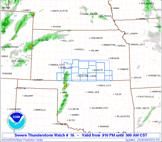
The front and the storms along it will move east through the night, bringing a threat of severe weather to our area. Let's talk details about the threat around here:
First Threat
Tomorrow Morning approx. 2AM-9AM
Main Threat: Large Hail, Gusty Winds
This first threat will bring a linear complex of thunderstorms, some of which could drop some large hail due to the cold air aloft in the atmosphere. Tornadoes are not out of the question as well, but hail should be the main threat in our area.
Second Threat
Tomorrow Late Morning/Early Afternoon approx. 10AM-4PM
Main Threat: Large Hail
As the actual front approaches, very cold air aloft will move overhead. This will create an unstable atmosphere, which will probably kick off a second round of showers and thunderstorms. Again, the air aloft will be very cold, so the primary threat with this second round of storms will be large hail.
* We've had two tornado events in our area since late November, so let's all stay on our toes early tomorrow morning and into the afternoon. The best way to get weather warnings is a NOAA Weather Radio. If you don't have one, tonight would be a good time to stop by a consumer electronics store and pick one up. If you do choose to buy one, look for one with SAME technology. SAME allows you to program which county you live in, and receive only warnings for that county.
* AFTER the Severe Weather: Wow, is it about to turn cold. High temperatures Wednesday and Thursday will do well to reach 40, with a stiff northerly wind on Wednesday. Overnight lows will fall into the upper teens and lower 20's on Thursday and Friday mornings. A weak clipper-type system will move through by early Saturday, and yes, this has the potential to bring some light snow or flurries to parts of MS and AL. We'll be watching...
Labels: Forecast Discussion
posted by WTOK Weather Staff @ 1:46 PM
![]()
![]()

1 Comments:
Thanks for the advance headsup on this.
Post a Comment
<< Home