Let's Talk Rain

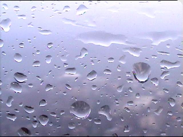
* There's nothing QUITE as exciting as talking rainfall totals on a Friday morning. OK, that's a bit sarcastic, but most of the Deep South saw a substantial soaking over the past 48 hours. These rainfall totals are from the past two days; the big winner seems to be the Stone County, MS cooperative weather observer report:
MISSISSIPPI
Leakesville, MS (Greene County): 3.69"
Lauderdale: 1.73"
Neshoba: 0.46"
Hattiesburg: 1.83"
Gulfport: 1.65"
Meridian (Key Field): 1.02"
Black Creek (Stone County): 9.74"
ALABAMA
Oakmulgee (Bibb County): 2.21"
Evergreen: 3.08"
Birmingham: 0.94"
Montgomery: 2.48"
Tuscaloosa: 1.13"
* Christmas Forecast: The thinking hasn't changed much...Rain seems like a good bet for Christmas Eve, with a few showers possibly lingering into Christmas morning. The latest model runs have backed off on the possibility of snow flurries in N MS/N AL on Christmas night...
* Long Range: I believe the pattern over the next few weeks will feature small temperature swings with brief shots of cold air. By that, I mean temperatures going from near normal (50's for highs/30's for lows) to a bit below normal for a day or two in the wake of a departing storm system. This pattern would favor nothing too warm, but nothing too cold either.
* Holiday Wishes: Personally, there are few times of the year that I cherish more than Christmas. Time spent with family and friends, football, full plates of food, and wonderful memories of holidays past make each holiday season a very enjoyable and meaningful time. It's my hope that your Christmas is consumed with meaningful time with your family, great food and fond memories. Merry Christmas!

3 Comments:
Merry Christmas to you as well Josh
Josh, what's your best guess on Monday night. Sleet, snow, rain, or nothing.
Oh boy...
I saw the new GFS runs...Both the 12z and the 18z would support the idea of some snow flurries across central MS Monday night.
However, the NAM doesn't really suggest that - and the Canadian seems to side more with the NAM solution.
My current thinking is that we will likely see a strip of snow flurries across extreme northern MS/northern AL. Will post again Sat or Sun when things become a little more apparent.
Post a Comment
<< Home