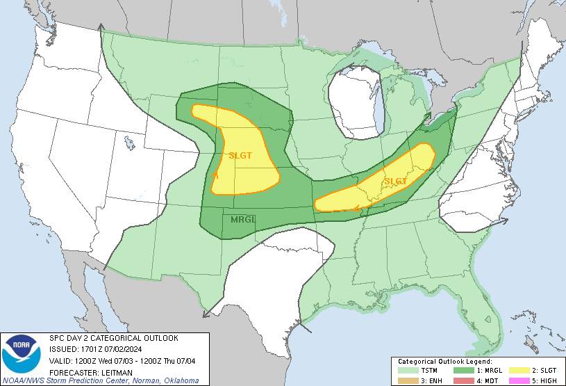
Day 2 High Risk

* The Storm Prediction Center has issued a very rare Day 2 High Risk for much of northeast Mississippi, north Alabama, and Tennessee. They are forecasting a signficant outbreak of tornadoes, some of which could be strong. While we are not in the high risk, it is very close to us. These risk areas are rough approximations, and I would not be surprised to see areas north of U.S. Highway 80 included in the High Risk in later outlooks.
* Please take this time to review your severe weather safety plans in your home, school, and business. If you live in a mobile home, you may want to consider spending time with a friend or relative in a more substantial structure. The timeframe of concern is from around 2pm until midnight.
* Stay close to a good source of weather information tomorrow, it has the potential to be a bad day.

1 Comments:
Weather Gone Wild.:) Looks like you have a busy day ahead of you tomorrow. If you can, feel free to keep us updated as much as possible tomorrow.
Post a Comment
<< Home